


• WELCOME TO HARRIS CHAMBER TEAM

Types of Maps We Produce

Types of Maps We Produce

Every community is unique, and so is every map we create. We offer a wide variety of print and digital mapping solutions designed to meet the specific goals of chambers of commerce, tourism organizations, cities, counties, economic development agencies, and business organizations. Below are some of our most popular map formats, but we are always happy to customize a publication to fit your community’s needs.

Traditional City & County Map

Our most popular format is the classic two-sided Community Map. One side features a detailed street map of the primary city or community, while the reverse side showcases the surrounding county or regional area. This design provides visitors and residents with both detailed navigation and a broader geographic perspective.
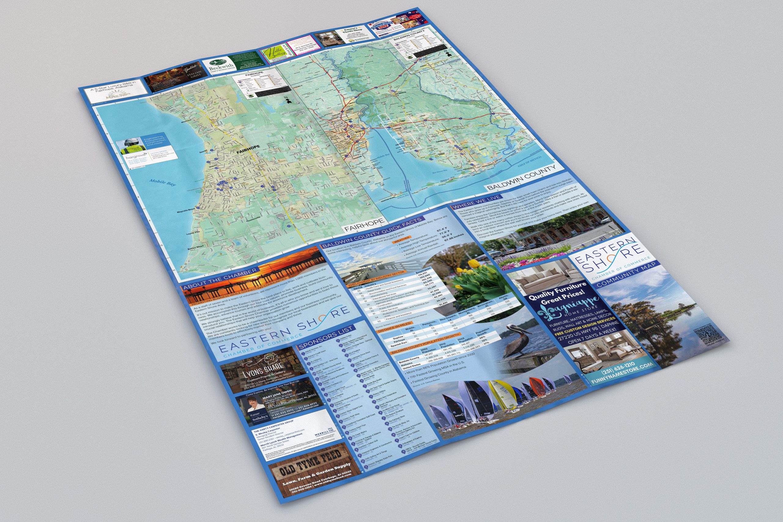

Multi-City or Regional Map

Designed for regions where several communities work together to promote tourism, economic development, or regional cooperation. These maps may feature multiple cities on one or both sides, depending on the geography and level of detail required.

Tourism Destination Map

Rather than focusing on an entire city, these maps concentrate on a specific destination or visitor experience.

Illustrated or Cartoon Map

Illustrated maps emphasize personality and visual appeal rather than strict cartographic accuracy. These maps combine artistic illustrations with simplified navigation to create an engaging visitor experience.

Business & Membership Locator Map

Designed specifically for chambers of commerce and business organizations, these maps highlight member businesses throughout the community.

Downtown Walking Map

Perfect for communities with active downtown districts, entertainment areas, or historic neighborhoods.

Campus & Facility Maps

Custom maps can also be developed for individual campuses or large facilities, including: